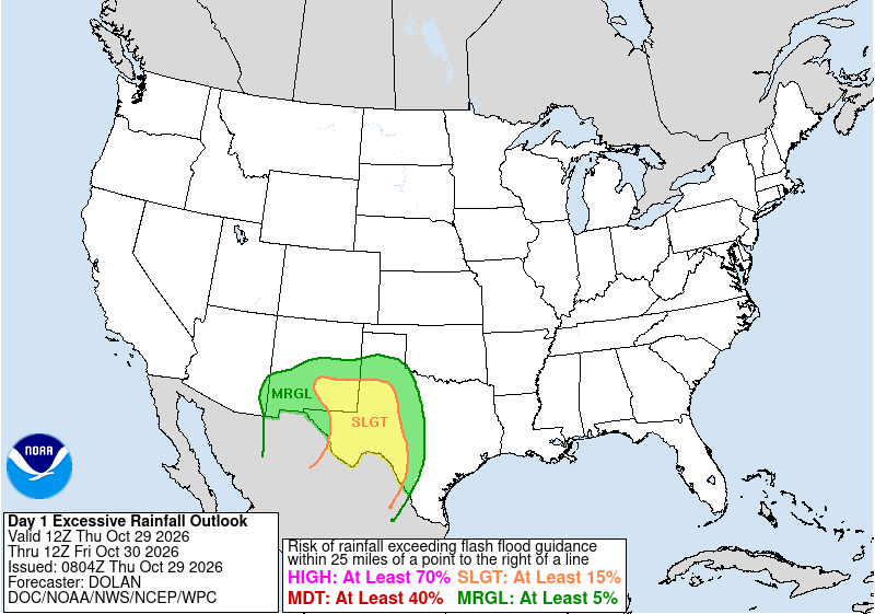
A mid-level jet stream disturbance associated with the remnants of TC Vance will lift into Texas and New Mexico over the next 24-48 hours. A plume of deep moisture with precipitable water values of 1.5" - 2" will support widespread rain and thunderstorm activity across much of central and eastern New Mexico into west and central Texas.
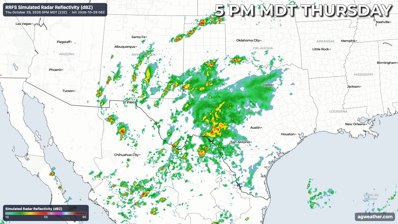
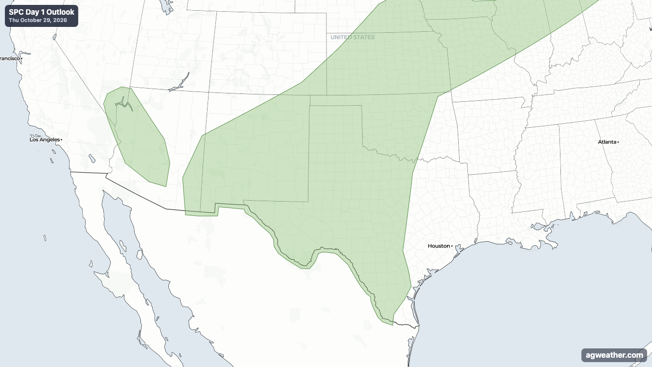
Widespread cloudcover and meager instability will limit the overall severity of thunderstorm activity across the region aside from locally heavy rainfall. A level 2 of 4 slight risk for excessive rainfall is in place from the WPC/NWS, but the Storm Prediction Center has not outlined any areas of elevated severe thunderstorm potential.