
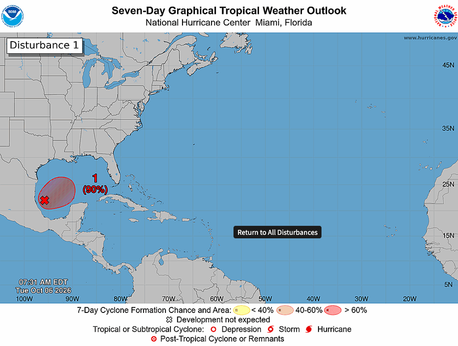
The National Hurricane Center is monitoring AL92 for potential organization into a tropical depression (and beyond?) over the next 48 hours. As the storm organizes, an approaching upper-level wave associated with the sub-tropical jet stream will push it north and east toward the Gulf Coast. As of Tuesday morning, those with interests from Louisiana to Florida are being told to monitor the forecast for potential impacts from hypothetical-Isaias.
There remains a wide spread in forecast solutions regarding peak intensity of the storm, exact track, and rainfall totals deposited as the storm comes ashore. Additionally, the track and evolution of the storm may lead to an enhanced risk of tornadoes associated with outer bands of the system, especially along the north and east side of the storm track.
Here are forecast rainfall totals from a variety of different models as of Tuesday morning, October 6:
ECMWF vs GFS:

EPS vs GEFS:

WPC:

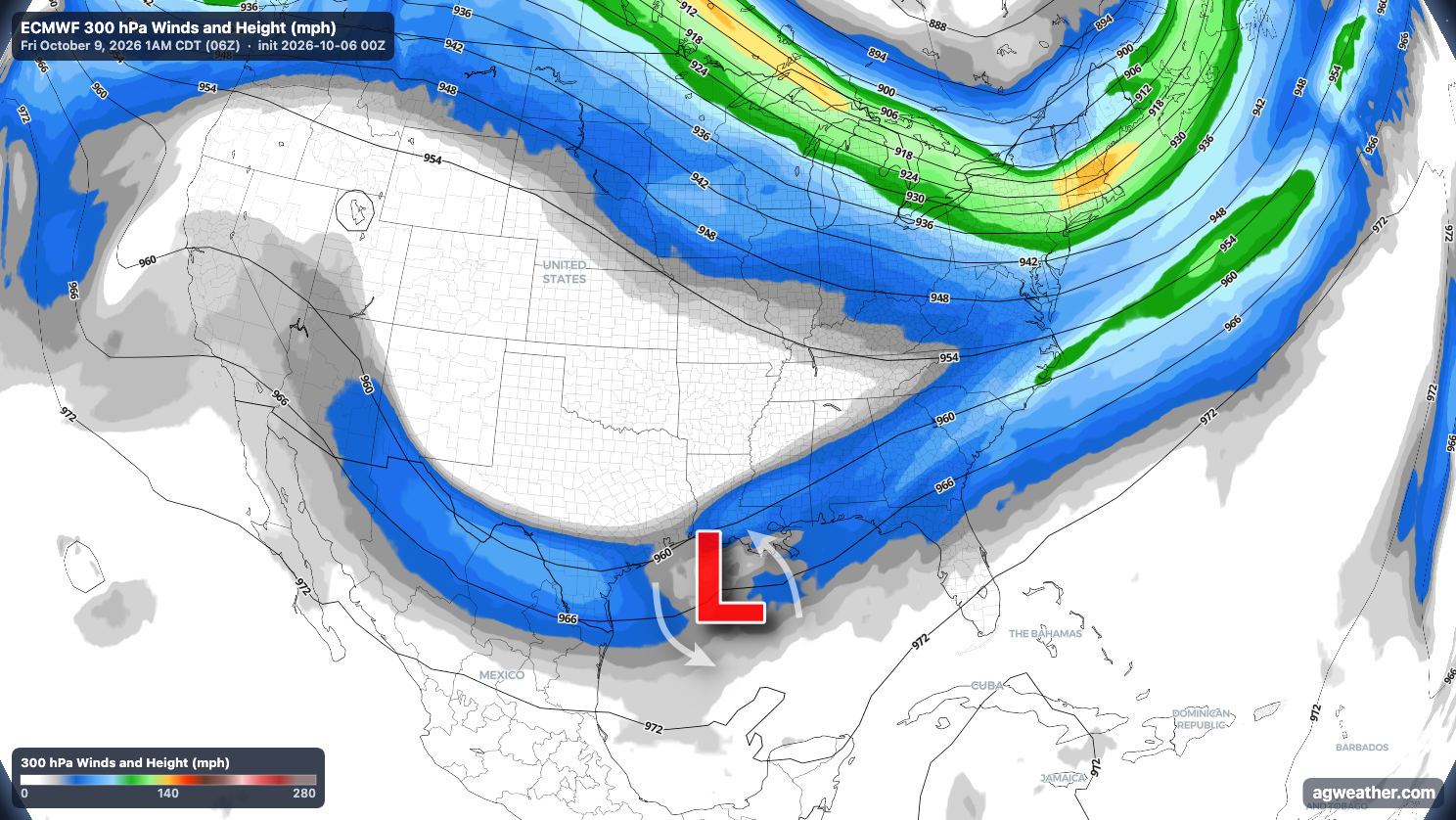
Approaching upper-level wave associated with the sub-tropical jet stream races along the U.S. and Mexico border into the western Gulf, pushing the storm north and east toward the Gulf Coast with late-week landfall somewhere from Louisiana to Florida.
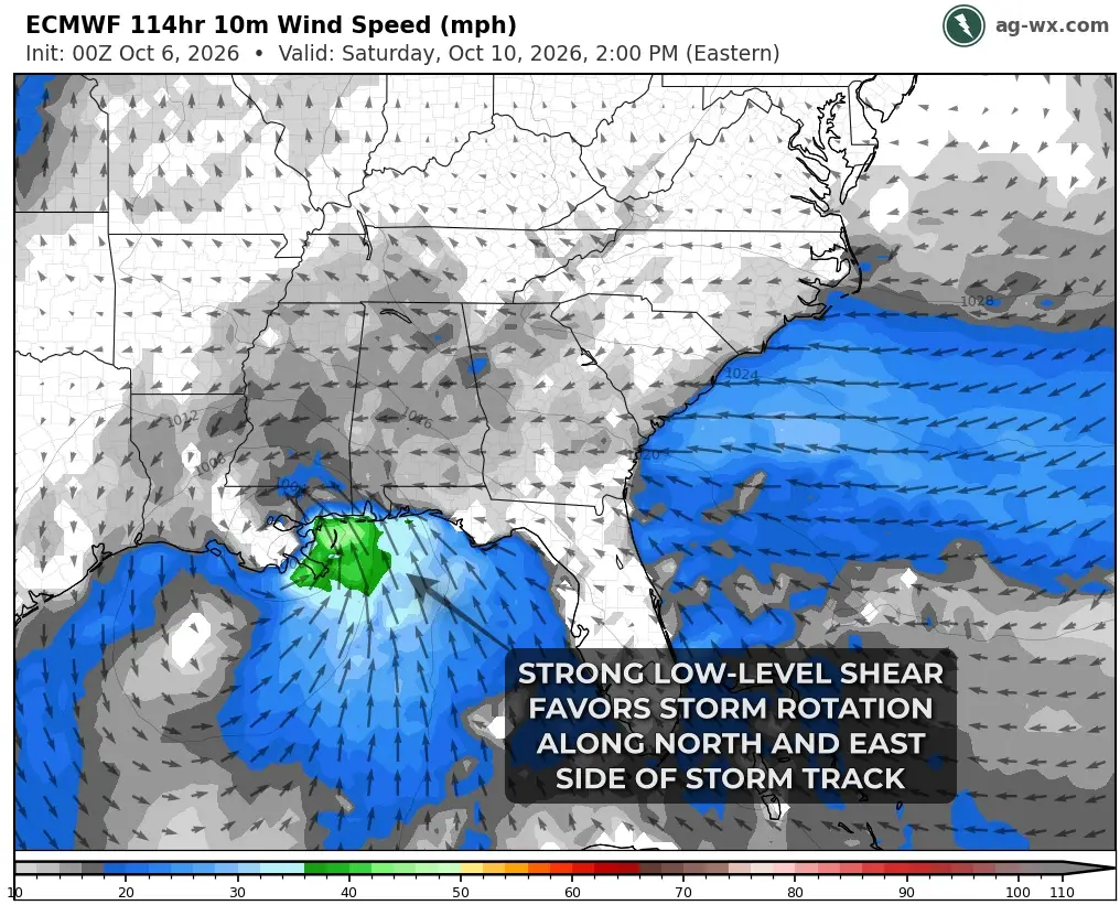
Many questions remain, but an evolution as-advertised early Tuesday morning may favor a 24-48 hour period of enhanced tornado potential within the outer bands of the storm along the north and east side of the storm track.
