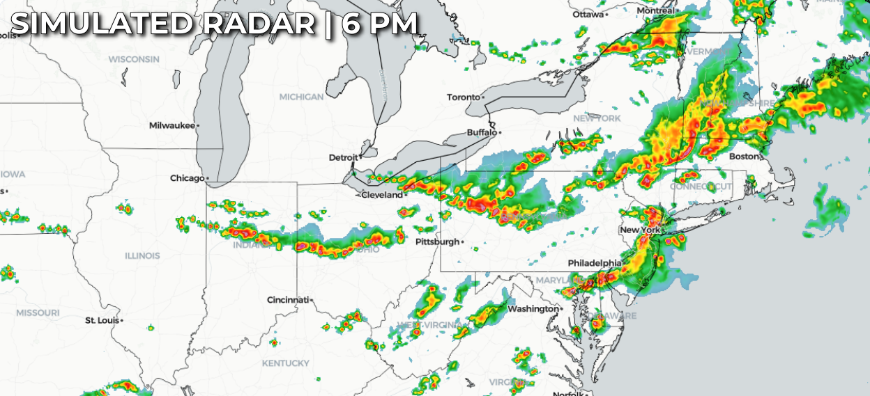
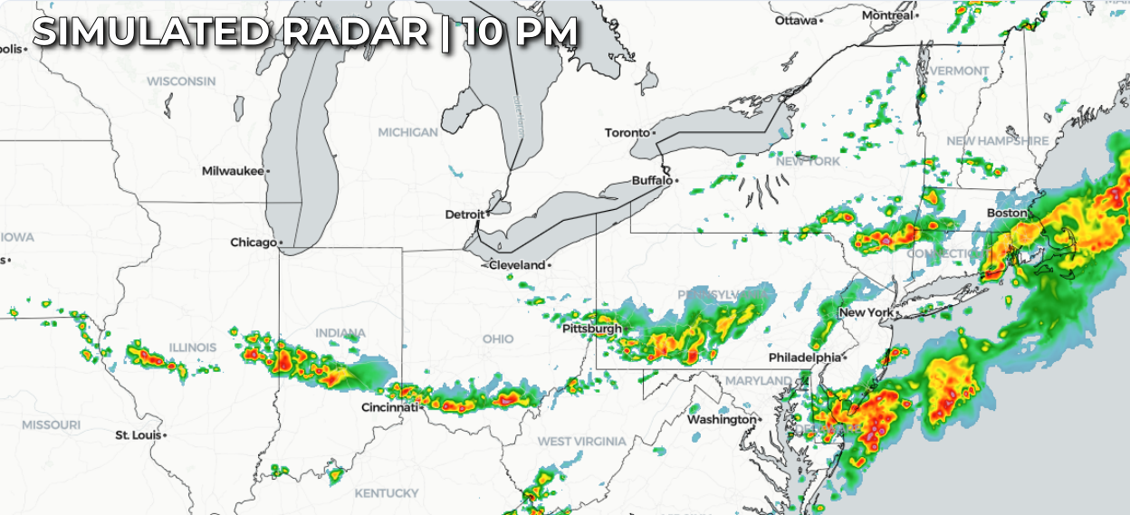
A busy severe weather day is expected across the eastern Great Lakes, Ohio Valley, Mid-Atlantic, and Northeast as a strong upper-level disturbance and an advancing cold front interact with a very warm, humid air mass already in place. Early morning showers and thunderstorms may temporarily limit instability due to widespread cloud cover, but as skies gradually brighten and temperatures climb this afternoon, the atmosphere should quickly become increasingly unstable. Forecast instability of 1,000 to 3,000 J/kg, combined with strengthening winds aloft, will provide a favorable environment for organized thunderstorms to develop and intensify through the afternoon and evening.
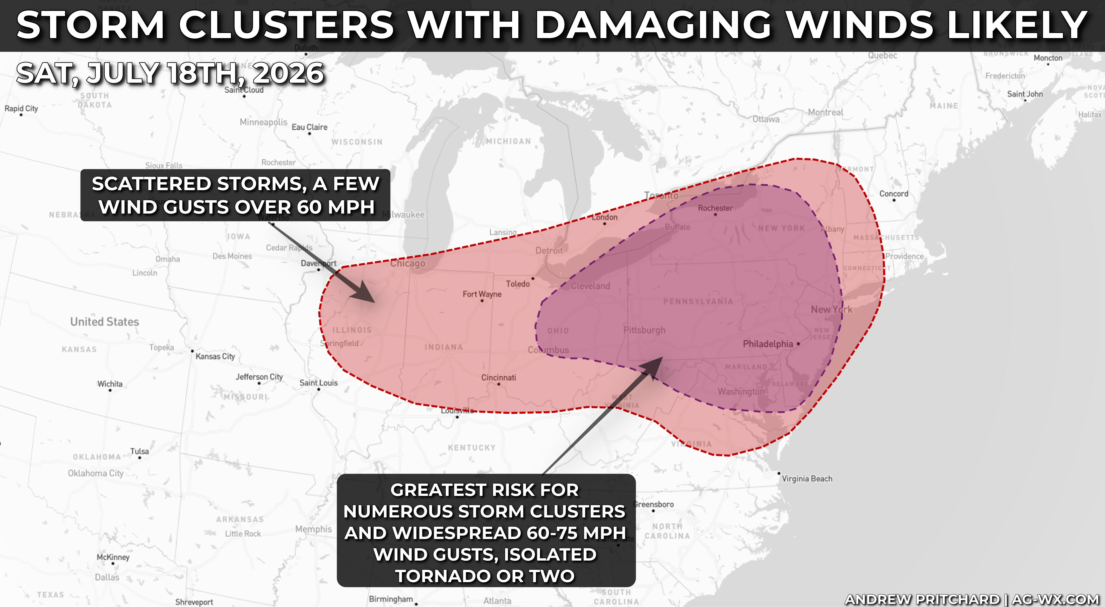
Exactly how the storms evolve remains somewhat uncertain, but confidence is growing that multiple clusters and bands of thunderstorms will organize and sweep eastward. The primary threat will be widespread damaging straight-line winds, with gusts commonly reaching 50 to 60 mph and localized pockets of 70 mph possible, especially from the Chesapeake Bay northward toward southern New England along the Interstate 95 corridor. A few of the stronger storms could become supercells capable of producing large hail and a few tornadoes, making all modes of severe weather possible across parts of the Mid-Atlantic and Northeast.
Farther west, from the southern Great Lakes into the Ohio Valley, storms developing along the cold front are expected to organize into broken lines as they move southeast. Damaging winds will again be the main concern, although isolated large hail and a tornado or two cannot be ruled out.