
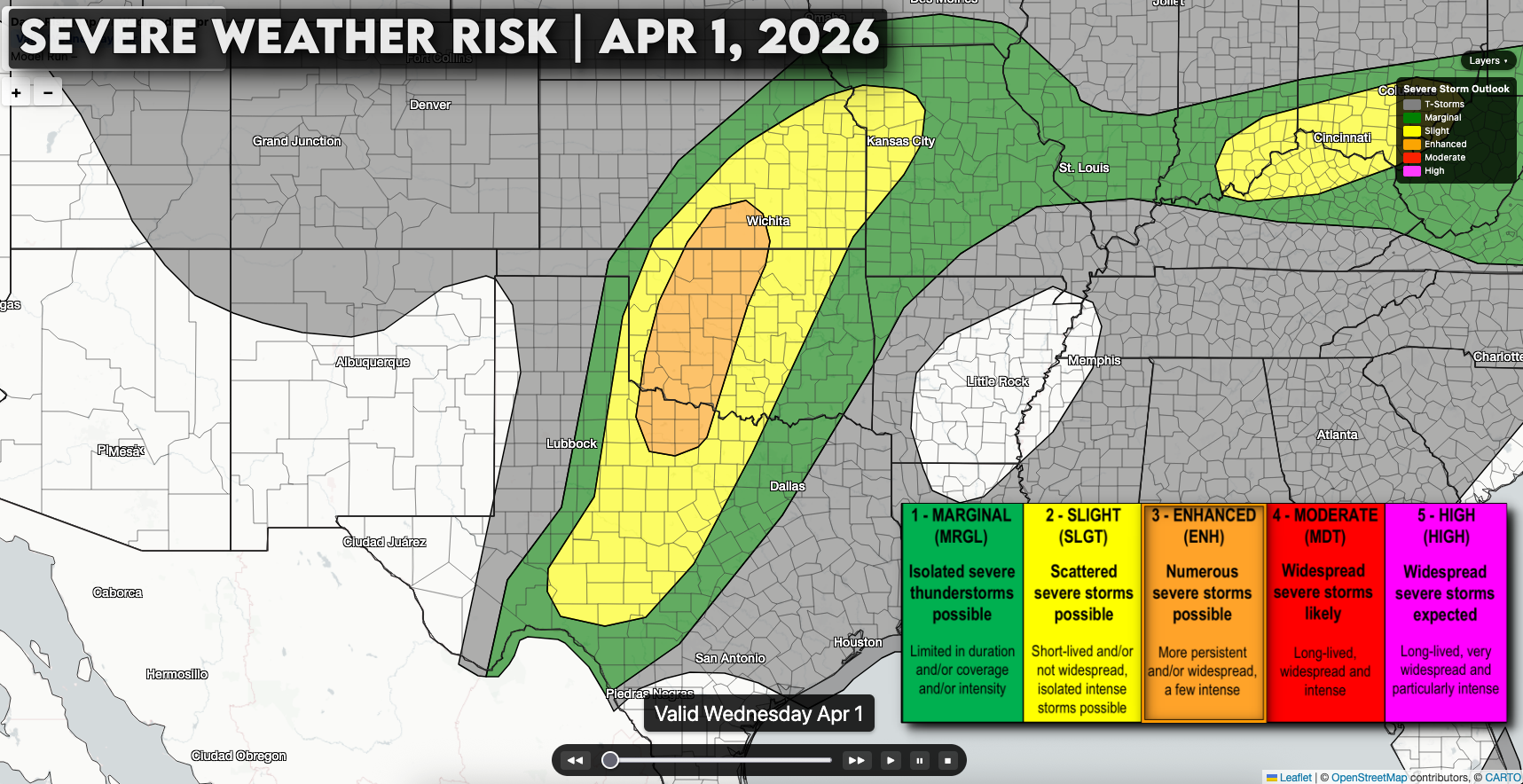
A classic spring severe weather setup is taking shape across the Southern Plains today, with storms expected to develop quickly by late afternoon and continue into the evening and early overnight.
Warm, moist air is surging north across Texas and Oklahoma today, with dew points climbing into the mid 60s by late afternoon. That moisture, combined with steep lapse rates (temperatures rapidly cooling with height) and an approaching jet stream disturbance, will create a very unstable environment supportive of strong thunderstorms.
Storms are expected to develop between 4 PM and 7 PM from west Texas into western and central Oklahoma, likely forming quickly along the dryline. Unlike some setups where storms stay isolated, this one looks “messy,” with storms developing over a broad area and quickly organizing into lines or clusters of storms.

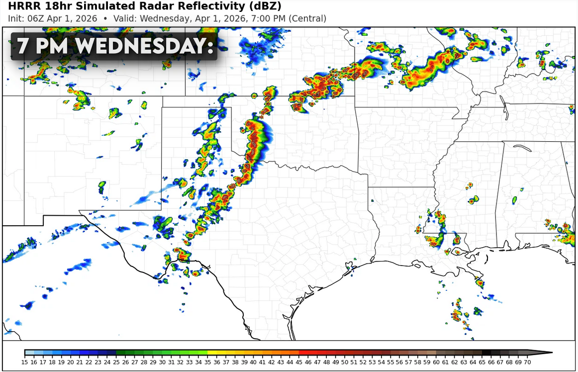
Because of that, the main threat will be damaging winds, with strong gusts over 65 mph capable of causing tree damage, minor structural damage, and potentially leading to scattered power outages.
That said, this environment is still capable of producing large hail, and in some cases hail over 2 inches in diameter is possible especially early before storms merge into a line or cluster.
There is also a tornado risk, but it’s a bit more conditional. If a few storms can stay isolated early on, the tornado threat would increase. Otherwise, a few brief tornadoes could still spin up within the line of storms, especially during the evening hours (roughly 7 PM to 11 PM) as wind shear profiles become more favorable.
