
A multi-day severe weather sequence is expected across the central U.S. this weekend into early next week, primarily focused on the April 11–15 time frame. While confidence is highest in the coverage and severity of storms Monday and Tuesday, the sequence begins with a couple of days of lower, more conditional risk over the weekend.
The Storm Prediction Center has already highlighted portions of New Mexico, Texas, and Oklahoma with a Level 2 of 5 (Slight Risk) in its Day 2 Severe Weather Outlook valid for Saturday. A large area of rain and thunderstorms is likely to develop Saturday night, but the overall coverage and intensity of severe storms may be limited by the late (primarily overnight) arrival of a jet stream disturbance and relatively modest instability.

A second area of isolated severe thunderstorm potential will exist farther north, where another upper-level disturbance moves from the northern Plains into the Upper Midwest. As moisture surges northward Saturday night, a few storms could produce large hail across eastern Nebraska, Iowa, and northern Illinois.
On Sunday, severe storms will again be possible from the Red River northward toward the Missouri River. As the lead jet stream disturbance lifts from Texas Saturday night into the Ohio Valley by Sunday afternoon, the strongest upper-level support will shift east of the dryline. While instability will be higher Sunday evening compared to Saturday, the lack of stronger forcing may limit storm coverage across Kansas, Oklahoma, and Texas.

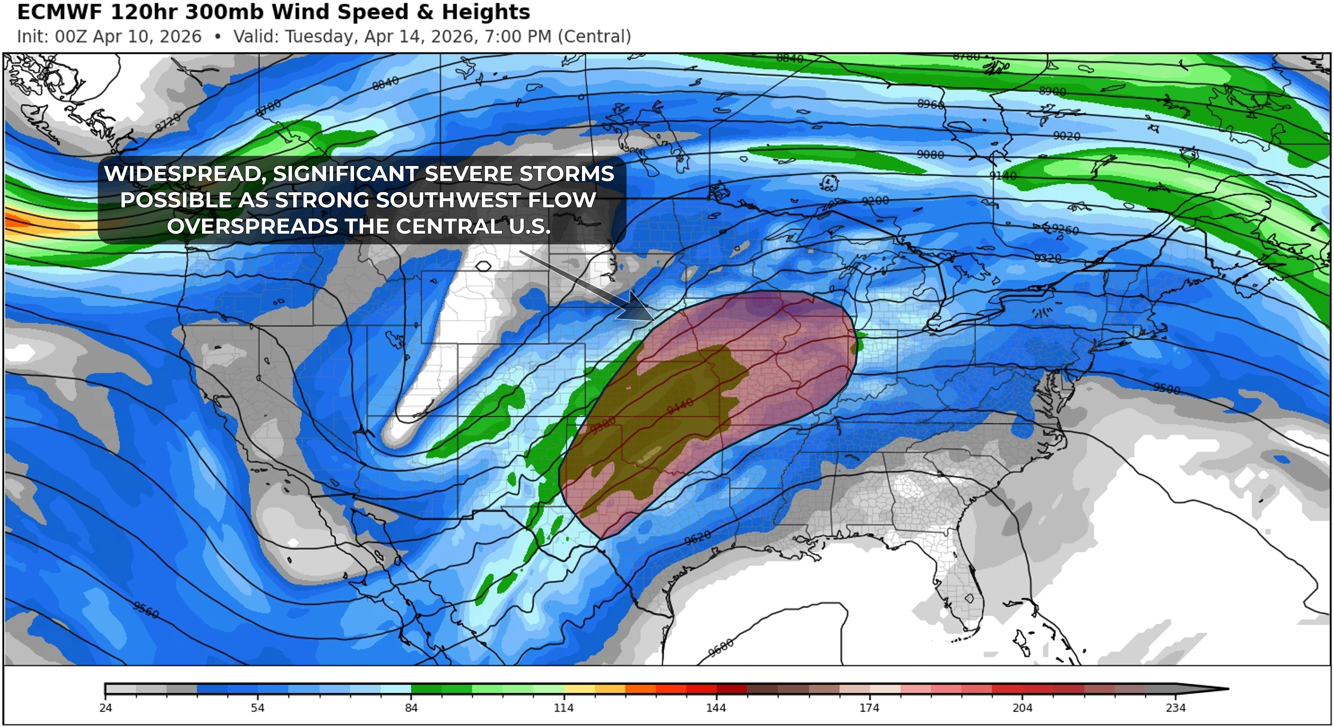
As stronger southwesterly flow overspreads the Plains and Midwest, a more active and potentially impactful period of severe thunderstorm activity is expected Monday through Wednesday, April 13–15. While details regarding timing, location, and specific impacts will become clearer over the weekend, one or more days of significant severe weather appear possible from the southern Plains into the Midwest.
The Colorado State University Machine Learning Probabilistic forecast graphics (CSU-MLP) illustrate the issue with the upcoming forecast period - a widespread geographic zone that will be supportive of severe weather over multiple days, but lower confidence on where the most significant risk will be focused. "Tuesday in the Midwest" appears to be the loudest signal for a date and location at the moment.
