
An MCV, or mesoscale-convective vortex, is drifting through the Central Plains today, in the direction of the Missouri River Valley. Thunderstorm clusters that erupt one day can generate a transient, weak area of low pressure which then drifts with the prevailing flow and can generate storms the following day. These MCV aren't as intense as your typical synoptic, jet-stream induced area of low pressure, but they can provide a focus and extra lift for storm development, and often come with a vorticity rich environment that can help organize storms and perhaps give them a reason to rotate.
Check out the gentle "swirl" over Kansas in this morning's visible satellite loop focused on the Central Plains. That's your MCV! This little "swirl" will continue to drift toward the Missouri Valley, triggering scattered strong to severe storms between Omaha and Kansas City this evening.

Flow is relatively weak, but you can make out the trough / or dip in the jet stream with around 30 knots of flow overspread the region.

The setup over the Missouri Valley today lacks a strong EML, with more stout mid-level lapse rates associated with this feature much further to the west. That said, you can make out a nice 30-40 knot jet streak at 700 mb associated with the MCV. Modest moisture and low-level instability in tandem with this feature will probably be enough for a sustained supercell or two, perhaps producing an isolated tornado. Otherwise, these features are great at fostering a cluster of outflow-dominant storms that could produce scattered wind damage with gusts over 60 mph possible this evening.
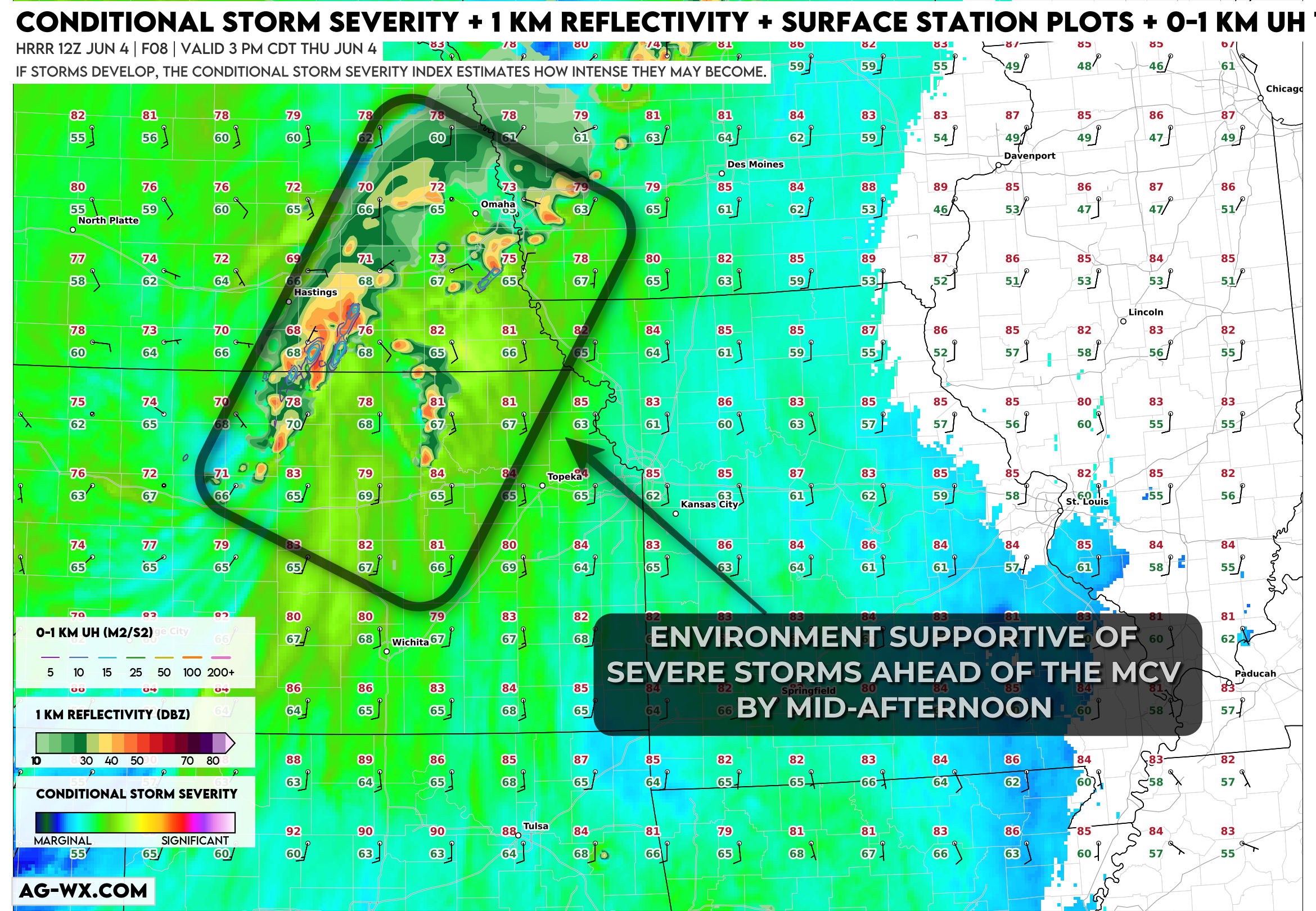

This region is only in a level 1 of 5 marginal risk for severe storms on the latest Day One Severe Weather Outlook from the Storm Prediction Center, which is probably fair given the modest nature of the setup, but I'd keep an eye on the region for a tornado or two, or more likely a windy, bowing storm segment or two during the evening.