
Green Bay, Wisconsin Weather Forecast
Today in Green Bay: mostly sunny with a high near 67°F and a low around 50°F. Rain chance 0%. No day tops a 20% rain chance through Thursday. Cooling trend: highs fall from 67°F today to 53°F by Monday.
Forecast updated 3:05 AM CDT, Oct 23
Active Weather Alerts
7-Day Forecast for Green Bay
Today 10/23
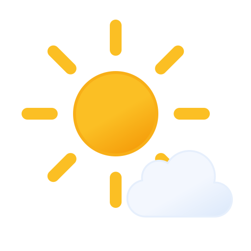
67°50°
Sat 10/24
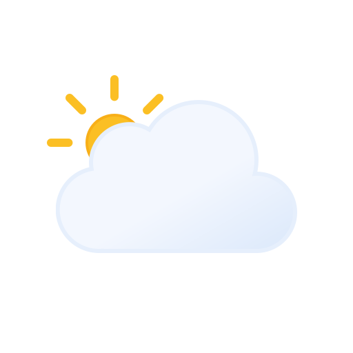
67°54°
Sun 10/25
63°54°
Mon 10/26

53°47°
Tue 10/27
11%
52°45°
Wed 10/28
14%
61°49°
Thu 10/29
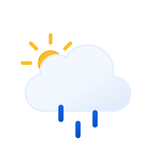
20%
59°49°
Next 24 Hours
| Now | 1 PM | 2 PM | 3 PM | 4 PM | 5 PM | 6 PM | 7 PM | 8 PM | 9 PM | 10 PM | 11 PM | Sat12 AM | 1 AM | 2 AM | 3 AM | 4 AM | 5 AM | 6 AM | 7 AM | 8 AM | 9 AM | 10 AM | 11 AM | |
|---|---|---|---|---|---|---|---|---|---|---|---|---|---|---|---|---|---|---|---|---|---|---|---|---|
| Sky | | | | | | | | |  | | | | | | | | | | | | | | | |
| Temp | 63° | 65° | 66° | 67° | 67° | 65° | 62° | 59° | 58° | 56° | 56° | 55° | 55° | 54° | 55° | 54° | 54° | 54° | 54° | 54° | 55° | 58° | 60° | 62° |
| Rain | 0% | 0% | 0% | 0% | 0% | 0% | 0% | 0% | 0% | 0% | 0% | 0% | 0% | 0% | 1% | 1% | 2% | 3% | 4% | 4% | 4% | 5% | 5% | 5% |
| Wind | S 5 | S 5 | S 5 | SSE 6 | SSE 6 | SSE 6 | SE 5 | SSE 5 | SSE 5 | SSE 5 | SSE 5 | SSE 5 | SSE 5 | SSE 5 | SSE 5 | SSE 5 | S 5 | SSE 5 | S 5 | S 5 | S 6 | S 7 | S 7 | S 9 |
Growing Conditions
Growing degree days
2,896
since Apr 1, base 50°F
Rain, last 30 days
0.91 in
model analysis
Rain, year to date
33.76 in
since Jan 1
2-inch soil temperature
53°F
yesterday, daily average
Reference ET, last 7 days
0.50 in
FAO-56 grass reference
Through Oct 22. Season totals use model analysis for this point and update every morning.
Soil, ET and spray tools for Green Bay →
Current Stats & Observations
NWS Forecast
About Green Bay Weather
Green Bay sits at about 591 feet above sea level in Brown County, Wisconsin. About 207,557 people live in the Green Bay area. Official forecasts and warnings for the area come from the National Weather Service GRB office, and the nearest NEXRAD radar site is KGRB. The city is in USDA plant hardiness zone 5b, where the coldest winter night typically falls between -15 to -10°F. Over the past ten years the last spring freeze has come around Apr 26 and the first fall freeze around Nov 2.
Nearby Forecasts
Appleton, WI
Oshkosh, WI
Sheboygan, WI
Fond du Lac, WI
West Bend, WI
Wausau, WI
Milwaukee, WI
West Allis, WI
Largest Cities in Wisconsin
Milwaukee, WI
Madison, WI
Appleton, WI
Racine, WI
Kenosha, WI
Eau Claire, WI
La Crosse, WI
Oshkosh, WI
Wausau, WI
Waukesha, WI
All Wisconsin forecasts (17) →
All states →
Interactive forecast tools →